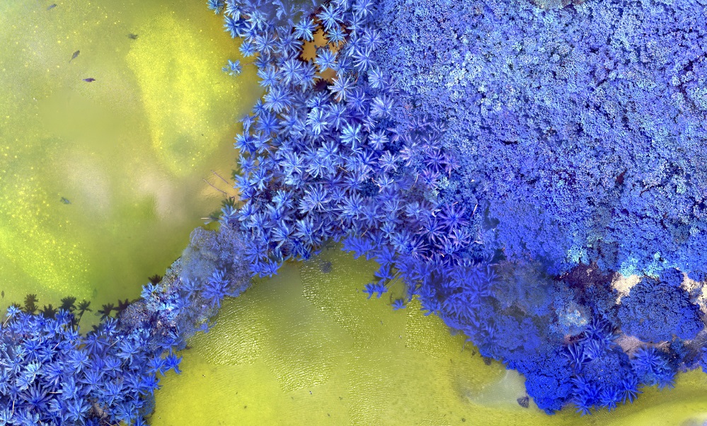
Geo intelligence or GEOINT / GEOINTEL is a term of art first coined by the U.S. military, and defined by U.S. statutory law as “intelligence about the human activity on earth derived from the exploitation and analysis of imagery and geospatial information that describes, assesses, and visually depicts physical features and geographically referenced activities on the Earth.”
GEOINT is now used by many and can be extremely useful for corporate investigations into human rights abuse. By organising and combining data around the geographical location on Earth of individuals or business activities, one can derive important evidence — primary and circumstantial — to help prove wrongdoing.
Consider what a bird’s eye view can bring to your investigation.

1. Satellite Imagery
Satellite imagery can be used for all kinds of corporate crime investigations: from tracking environmental disasters to the transport of illicit goods. Although satellite imagery can be used as primary evidence, many investigators use it in order to fact-check other evidence. For example, satellite imagery can be used to confirm that historical logging took place in a certain area by using a range of coordinates collected during an in-person mission. Or one can use satellite imagery to confirm that a vessel transporting illegal merchandise docked in a certain port at a certain time – coordinates first obtained from vessel tracking data.
High resolution, historical satellite imagery, is, however, hard to come by. A good and free-to-use starting point for historical satellite imagery is Google Earth. But you will likely want higher resolution images from a wider historical range.
A quick introduction to satellite imagery by the Citizen Evidence Lab here.
- Google Maps and Google Earth provide free, global satellite imagery, including historical images.
- Start with one of the many free databases available here, and once you have identified the specific date and location, turn to the Earth Observing System here, which provides up to 10 free images a day. Or you can even have a free month of high-resolution images from Sentinel here.
- Other free resources include EarthExplorer, among others.
- If you have some budget for satellite images, visit Image Hunter, the largest search engine and image reseller, with over 115 million images and 54 satellite, aerial and DEM datasets from around the world. Image Hunter allows you to find the photo you’re interested in and then submit a quote and place your order. The benefit of using Image Hunter instead of going to each individual provider is that it allows you to skip the more cumbersome administrative process.
- An extremely useful tool that relies on satellite imagery (jointly with cloud computing) to monitor changes in forests – historical and ongoing – is Global Forest Watch. GFW allows you to track illegal logging, land grabbing, deforestation or forest fires in near-real time and for free. I have used GFW primarily as a first port of call: it allows you to conduct preliminary assessments of forest change especially in areas where access is highly restricted.
2. Remote sensing
Remote sensing is the process of detecting and monitoring the physical characteristics of an area by measuring its reflected and emitted radiation at a distance (typically from satellite or aircraft). Special cameras collect remotely sensed images, which help researchers “sense” things about the Earth.
- Amnesty’s Citizen Evidence Lab provides a number of case studies on how to conduct remote sensing.
3. Geolocation
Geolocation refers to the identification of the geographic location of a user or computing device via a variety of data collection mechanisms. Typically, most geolocation services use network routing addresses or internal GPS devices to determine this location. Geolocation is a device-specific API.
- Amnesty’s Citizen Evidence Lab provides guidance on how to create a panorama from a video for geolocation and self-care.
- Bellingcat’s “Using the Sun and Shadows for Geolocation” provides useful guidance on how to use the sun and shadows to assist you in identifying the precise location of an incident.

